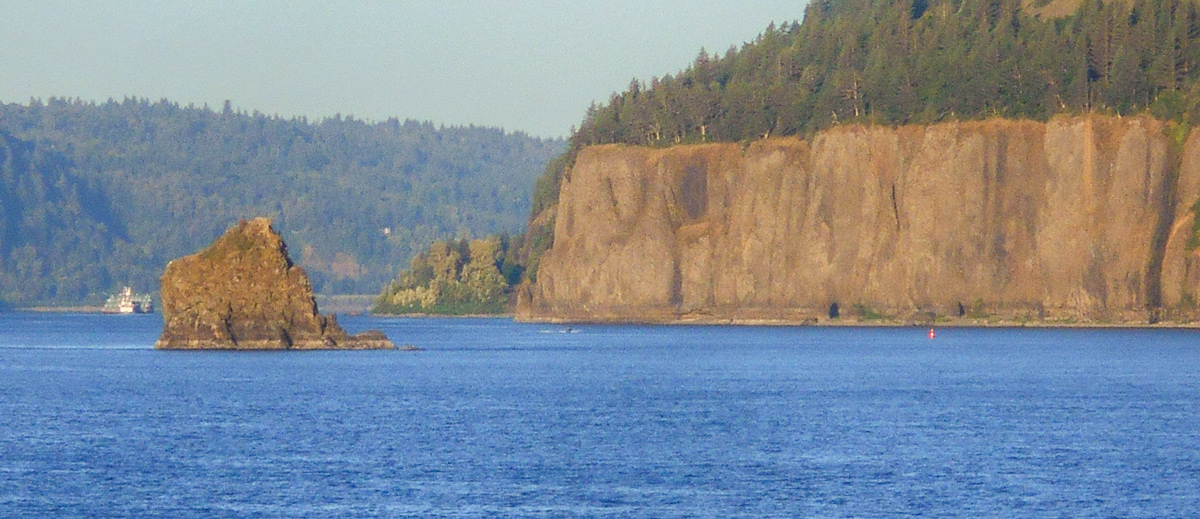
Phoca (Seal) Rock and Cape Horn
© 2019 by Robert Heacock. Used by permission.
The mid-river island (foreground) identified as “Phoca” and “Seal rock” on one of William Clark‘s route maps is a compact landslide block that detached from the uppermost Grande Ronde Basalt flow[2]See Columbia River Basalts. just below the upper tree line in this image of the Cape Horn headland.
Proceeding rapidly downriver on 2 November 1805 (Clark would estimate making “29 miles to day from the Great Shute”), only in his Elkskin-bound journal course and distance notes is there a mention of a prominent headland known today as Cape Horn on the Washington State side of the Columbia:
Stard. point of rocks of a high clift of black rocks.
Cape Horn is comprised of several lava flows belonging to the Grande Ronde Basalt, including some of the same rock units exposed at the landslide-prone Table Mountain upriver at the Cascades of the Columbia. Of interest to us is one of the basalt flows composing the Ortley Member just below the Highway 14 road level on Cape Horn and how it relates to a curious occurrence of an isolated rock in the river:
[2 November 1805:] passed a rock near the middle of the river, about 100 feet high and 80 feet Diamuter.—Clark
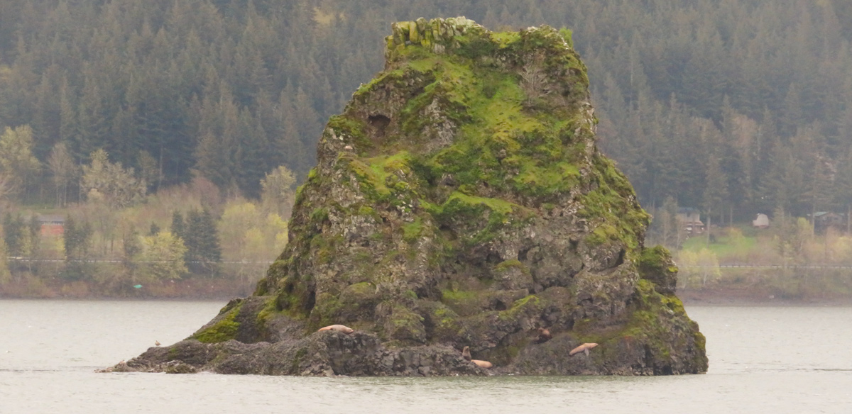
This mid-river island was identified as “Phoca” and “Seal rock” on one of Clark’s route maps,[3]Moulton, ed., Atlas, 1: Map 79. but apparently not referenced as such in any of the captains’ journal entries. Geologists studying this small island have determined it is compositionally identical to the afore-mentioned Orley Member flow on the Cape Horn head-land and, thus, represents a compact landslide block that fell hundreds of feet to its present location.[4]Wells, et al., “Gorge to the Sea,” 746.
Seals on Phoca Rock
© 2022 by Robert Heacock. Used by permission.
Notes
| ↑1 | John W. Jengo, “After the Deluge: Flood Basalts, Glacial Torrents, and Lewis and Clark’s “Swelling, boiling & whorling” River Route to the Pacific,” Part 2, We Proceeded On, November 2015, Volume 41, No. 4, the quarterly journal of the Lewis and Clark Trail Heritage Foundation. The original, full-length article is provided at https://lewisandclark.org/wpo/pdf/vol41no4.pdf#page=10. |
|---|---|
| ↑2 | See Columbia River Basalts. |
| ↑3 | Moulton, ed., Atlas, 1: Map 79. |
| ↑4 | Wells, et al., “Gorge to the Sea,” 746. |