St. Louis, MO The captains continue to work separately. Louis is gathering intelligence in St. Louis, and Clark brings the men and boats up the Mississippi encamping across from St. Louis.
St. Louis Winter Scene
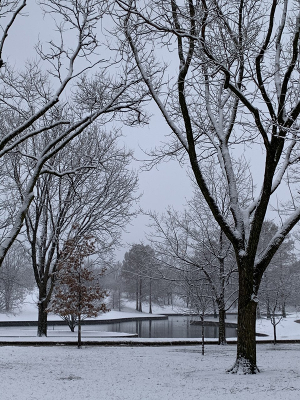
South Pond on the Arch Grounds. Photo by Sue Ford. Courtesy U.S. National Park Service.
Gathering Intelligence
Cahokia, December 19th 1803
Dear Sir,
I passed over to St. Louis with a view to obtain from inhabitants such information as I might consider usefull to the Government, or such as might be usefull to me in my further prosecution of my voyage.
MERIWETHER LEWIS Capt.
1st U.S. Regt. Infty.[1]Lewis to Jefferson, Donald Jackson, ed. Letters of the Lewis and Clark Expedition with Related Documents: 1783-1854, 2nd ed., (Urbana: University of Illinois Press, 1978), 147.
Early St. Louis
Four miles above Cahokia, on the western, or Spanish side of the Missisippi stands the village of St. Louis, on a high piece of ground. It is the most healthy and pleasurable situation of any known in this part of the country. Here the Spanish Commandant, and the principal Indian Traders reside;
—Thomas Hutchins[2]Thomas Hutchins, A Topographical Description of Virginia, Pennsylvania, Maryland, and North Carolina, 1778, edited by Frederick Charles Hicks, (Cleveland: The Burrows Brothers Company, 1904), … Continue reading
Clark’s Camp
2½ to St. Louis on the Lardb Side, passed the mouth of a Creek or Beyou on the Stbd & a Creek on the Lbd.
—William Clark


In present St. Louis, the Jefferson National Expansion Memorial “commemorates Thomas Jefferson’s vision of the continental expansion of the United States” and is a High Potential Historic Site along the Lewis and Clark National Historic Trail managed by the U.S. National Park Service.
Notes
| ↑1 | Lewis to Jefferson, Donald Jackson, ed. Letters of the Lewis and Clark Expedition with Related Documents: 1783-1854, 2nd ed., (Urbana: University of Illinois Press, 1978), 147. |
|---|---|
| ↑2 | Thomas Hutchins, A Topographical Description of Virginia, Pennsylvania, Maryland, and North Carolina, 1778, edited by Frederick Charles Hicks, (Cleveland: The Burrows Brothers Company, 1904), 109–10. |