Fishhook Rapids, WA While items are dried, the hunters and Lewis explore the plains above the Snake River. Some items are put away wet before the paddlers continue through several difficult rapids.
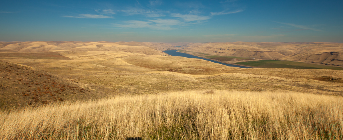
Snake River (view east)
© 20 October 2013 by Kristopher K. Townsend. Permission to use granted under the Creative Commons Attribution-Share Alike 4.0 International license.
Lewis had this same view after climbing up to the plains above their morning encampment.
No Game in Sight
a far [fair] morning Sent out hunters to hunt in the plains, about 10 oClock they returned and informed that they could not See any Signs of game of any kind
—William Clark
The Blue Mountains
Capt Lewis walked on the plains and informs that he could plainly See a rainge of mountains which bore S. E. & N. W. the nearest point south about 60 miles, and becoms high toward the N. W. The plaines on each Side is wavering.
—William Clark
Not Sufficiently Dry
at two oClock we loaded & Set out, our Powder & Provisions of roots not Sufficently dry. we Shall put them out at the forks or mouth of this river which is at no great distance, and at which place we Shall delay to make Some Selestial observations &c.
—William Clark
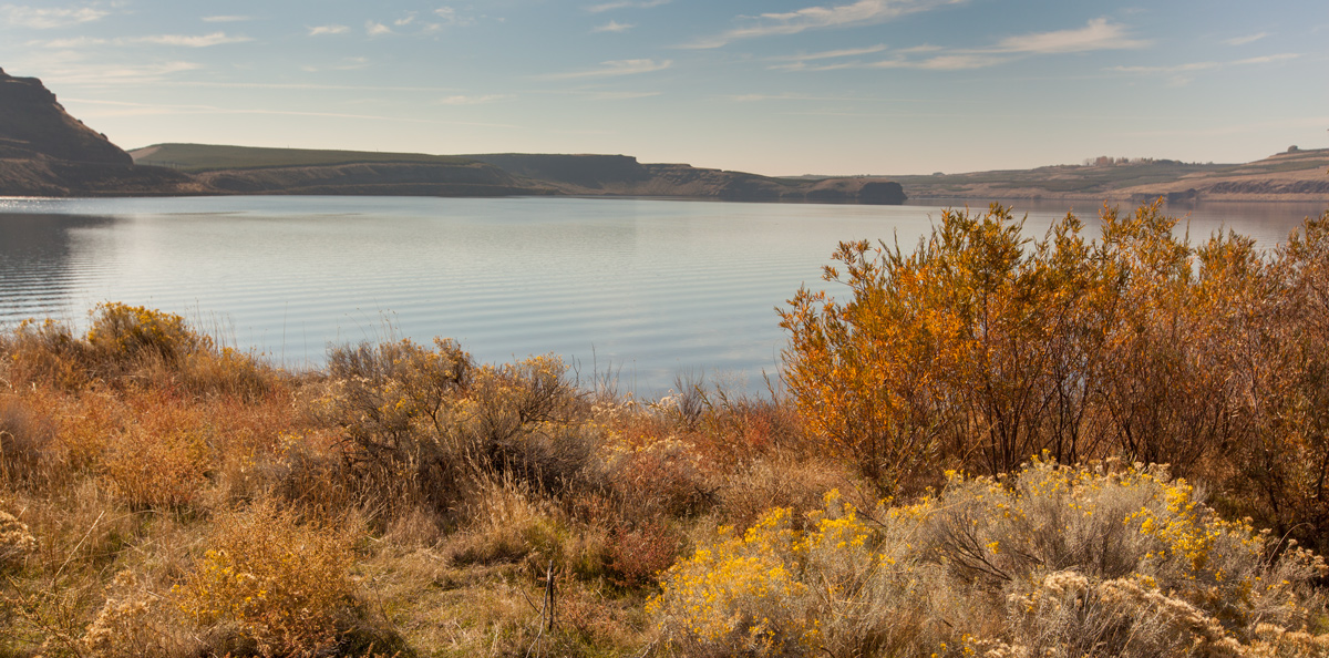
Fishhook Rapids
© 20 October 2013, Lost Island Habitat Management Unit, by Kristopher K. Townsend. Permission to use granted under the Creative Commons Attribution-Share Alike 4.0 International license.
Fishhook Rapids are now inundated by the Ice Harbor Dam.
Scenes of Romantic Grandeur
This river in general is very handsome, except at the rapids, where it is risking both life and property to pass; and even these rapids, when the bare view or prospect is considered distinct from the advantages of navigation, may add to its beauty, by interposing variety and scenes of romantick grandeur where there is so much uniformity in the appearance of the country
—Patrick Gass
Stopping at Fishhook Rapids
Several of the rapids verry bad and dificuelt to pass. The Islands of different Sizes and all of round Stone and Sand, no timber of any kind in Sight of the river, a fiew Small willows excepted . . . passed thro: narrows for 3 miles where the Clifts of rocks juted to the river on each Side compressing the water of the river through a narrow chanel; below which it widens into a kind of bason nearly round without any proceptiable current, at the lower part of this bason is a bad dificuelt and dangerous rapid to pass, at the upper part of this rapid we over took the three Indians who had Polited us thro the rapids from the forks. those people with our 2 Chiefs had proceeded on to this place where they thought proper to delay for us to warn us of the difficulties of this rapid.
—William Clark
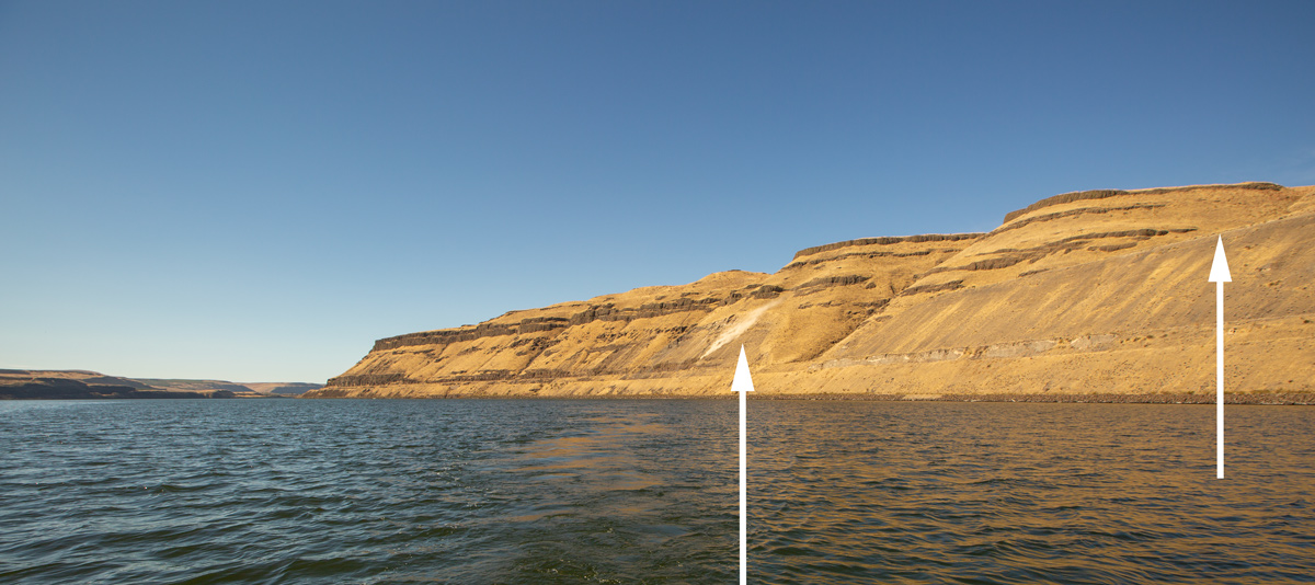
The Lake Sacajawea Bar
© 10 October 2015 by Kristopher K. Townsend. Permission to use granted under the Creative Commons Attribution-Share Alike 4.0 International license.
Lake Sacajawea Bar is a massive longitudinal eddy bar left by Glacial Lake Missoula flood waters. Although the journalists saw it, they never mentioned this feature on the northern shore of the lower Snake.
Left arrow above: a small landslide creates a dust cloud.
Right arrow above: The downstream end of the Lake Sacajawea Bar. Moving upstream, the sandbar quickly rises to 400 feet above the river.
The abandoned Spokane, Portland, and Seattle railway bed cuts through soft material. The rails have been removed, and the rail bed—now Columbia Plateau State Park—provides hiking access along the lower Snake River.
Weather Diary
Day of the month Wind State of the Weather 15th S W fair Note from the 7th to the 16th octr. we were decending Kooskooske [Clearwater] & Lewises [Snake] river
—William Clark[1]Some abbreviations have been spelled out.
Notes
| ↑1 | Some abbreviations have been spelled out. |
|---|