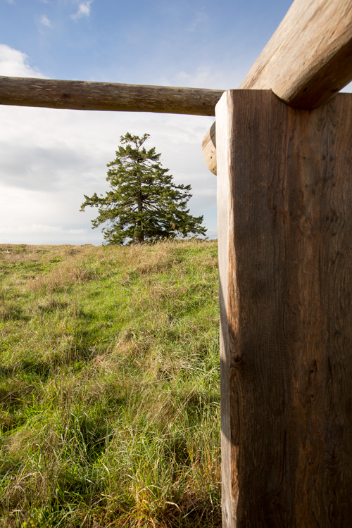
Station Camp near Chinook, WA The stormy weather finally breaks, and the main party paddles to Baker’s Bay, the end of their westward water journey. Camp is established near the Chinook‘s Middle Village.
Station Camp (view south)
© 11 November 2015 by Kristopher K. Townsend. Permission to use granted under the Creative Commons Attribution-Share Alike 4.0 International license.
Rocks placed between the Columbia River and Highway 401 have been digitally removed from this photo.
Moving Camp[1]Originally aired weekdays by Yellowstone Public Radio during the Bicentennial observance of 2003-2006. Narrated by Hal Hansen. Scripts by Whit Hansen and Ed Jacobson. Produced by Leni Holliman. © … Continue reading
Moving to Station Camp
proceeded on passed the blustering point below which I found a butifull Sand beech thro which runs a Small [NB?: river from the hills] below the mouth of this Stream is a village of 36 houses uninhabited by anything except flees [Fleas]
—William Clark
Shannon’s Story
here I met G. Shannon and 5 Indians. Shannon informed me that he met Capn. Lewis at an Indian Hut about 10 miles below who had Sent him back to meet me, he also told me the Indians were thievish, as the night before they had Stolen both his and Alexander Willards rifles from under their heads, that they Set out on their return and had not proceeded far up the beech before they met Capt Lewis, whose arival was at a timely moment and alarmed the Indians So that they instantly produced the Guns—
—William Clark
End of the River Journey
this I could plainly See would be the extent of our journey by water, as the waves were too high at any Stage for our Canoes to proceed any further down. in full view of the Ocian from Point Adams to Cape Disapointment, I could not See any Island in the mouth of this river as laid down by Vancouver.
—William Clark
Haley’s (Baker) Bay
This Bay we call Haleys bay from a favourate Trader with the Indians which they Say comes into this Bay and trades with them
—William Clark
Meeting the Chinooks
The Indians who accompanied Shannon from the village below Speake a Different language from those above, and reside to the north of this place The Call themselves Chin nooks, I told those people that they had attempted to Steal 2 guns &c. that if any one of their nation stole any thing that the Sentinl. whome they Saw near our baggage with his gun would most certainly Shute them, they all promised not to tuch a thing
—William Clark
A Comfortable Camp
our men all Comfortable in their Camps which they have made of boards from the old Village above. we made 3 miles to day.
—William Clark
Weather Diary
Day of the month Wind State of the Weather 15th S E fair after rain The after part of this day is fair and calm for the first time since the 5th instant and no rain. move our encampment.
—Meriwether Lewis Lewis and William Clark[3]Some abbreviations have been spelled out.


Dismal Nitch is a High Potential Historic Site along the Lewis and Clark National Historic Trail managed by the U.S. National Park Service. Interpretation is available at the Dismal Nitch Safety Rest Area on WA State Highway 401.
Middle Village-Station Camp is a High Potential Historic Site along the Lewis and Clark National Historic Trail managed by the U.S. National Park Service. The site provides interpretation and is part of the Lewis and Clark National and State Historical Parks.
Notes
| ↑1 | Originally aired weekdays by Yellowstone Public Radio during the Bicentennial observance of 2003-2006. Narrated by Hal Hansen. Scripts by Whit Hansen and Ed Jacobson. Produced by Leni Holliman. © 2003 by Yellowstone Public Radio. |
|---|---|
| ↑2 | William Bright, Native American Placenames of the United States (Norman: University of Oklahoma Press, 2004), 103. |
| ↑3 | Some abbreviations have been spelled out. |